

🔍 Click to enlarge
Image created by XtremeOffice
Created by XtremeOffice
By the manufacturer
The image may differ from the exact product. Always check the specifications for exact size, colour and features. In the generated lifestyle/demonstration photos (with captions created by XtremeOffice), the scale shown is not always realistic — the product is sometimes deliberately shown large and prominently for recognisability.

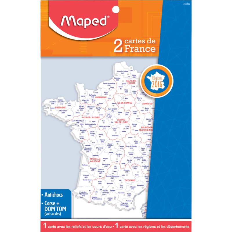
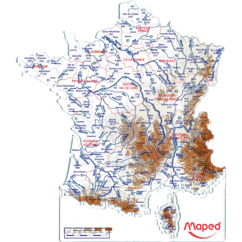
Maped template France map, white/blue/red, shock-resistant plastic, 180 mm
-16%
€2,09
incl. VAT
€1,73 excl. VAT (21%)
You are ordering: Colour: white/blue/red
📦 We only sell this item per 15 stuks
— the price applies per piece
Price excluding shipping costs: €4,95 incl. VAT for orders under €49,95. From €49,95 we ship for free.
€2,50
Average price over the last 90 days
✓ In stock (90 pieces)
Ordered now, delivered Wednesday
Need more? New stock expected in week 47 (16 November - 22 November 2026).
Place your order and we'll make sure it's delivered on time.
Place your order and we'll make sure it's delivered on time.
Brand: Maped
| Article number | 339412200 |
|---|---|
| EAN | 3154142554000 |
| OEM number | 255400 |
| Packaging unit | 15 stuks |
| Weight | 0,067 kg |
|---|---|
| Dimensions | B: 400 mm × H: 300 mm × D: 35 mm |
| Country of origin | China |
| Customs tariff (HS code) | 49059000 |
| VAT rate | 21% |

This is why Dex likes this article
Perfect for geography lessons or office projects! These sturdy templates show France complete with departments, mountains and rivers. Thanks to the shock-resistant plastic, they will stay looking good for years.
When do you choose this product?
When do you need a map template?
Use a map template to quickly and accurately trace the outlines of France for geography lessons, presentations or projects. This template is indispensable when you regularly need to make maps where precision matters, or when pupils are working on geographical assignments independently.
Why choose this 180 mm size?
With a height of 180 mm, this template offers a practical working size that fits neatly on standard A4 paper. You get enough detail to show important geographical features clearly, without the template becoming unwieldy for everyday use in the classroom or office.
Impact-resistant plastic for intensive use
The template is made from impact-resistant plastic, making it durable enough to withstand daily wear in educational settings. This sturdy construction ensures that the edges stay sharp and the template keeps its shape, even after frequent use by different users.
Complete with all French territories
This template shows not only mainland France, but also includes the administrative regions, Corsica, the overseas departments, mountains and rivers. You therefore get a complete overview of all French territories in one template, which is ideal for in-depth geographical studies and for making clear maps that cover every aspect of France.

Dex finds with this article
Specifications according to the manufacturer
Height: 180 mm, made of shockproof plastic, with administrative areas, Corsica, overseas departments, mountain ranges and rivers
packed per 15 pieces
(255400)
packed per 15 pieces
(255400)
Manufacturer
Hazard information
No hazard classification applies according to the available manufacturer and supplier information.
This product contains no substances classified as hazardous under the CLP Regulation.
This product contains no substances classified as hazardous under the CLP Regulation.
Product information checked by XtremeOffice
This page has been compiled based on information from the manufacturer and our supplier. Last checked on 30-10-2026.
This page has been compiled based on information from the manufacturer and our supplier. Last checked on 30-10-2026.
×
‹
›
![]()